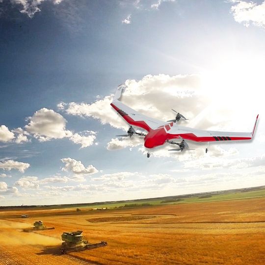
Satellite/UAV Imagery
We have access to a number of third-party imagery collected by satellites and Unmanned Aerial Vehicles (UAVs). Depending on the source, we can offer resolutions between 30 meters to 8 centimetres.
While we don’t use this imagery as part of the base layer in our own Zone Management Program, it can provide useful information about field productivity when used in the correct context.